














Met Office issues weather warning for snow as forecasters warn of disruption
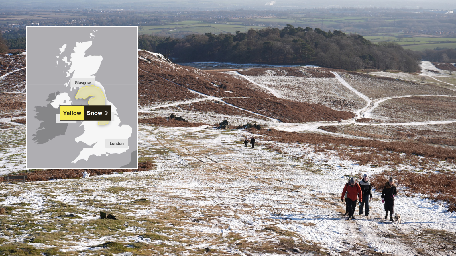
The Met Office has issued a weather alert for snow across much of the UK, with forecasters warning of travel disruption across England and Scotland.
A yellow warning is in place from 12am to 12pm on Tuesday, stretching from Stoke-on-Trent and the Staffordshire Moorlands up to Ayr and Lanarkshire in central Scotland.
Forecasters say a band of rain is expected to move north across the UK through Monday night and Tuesday morning.
This front will likely turn to snow after it encounters colder air in the warning area.
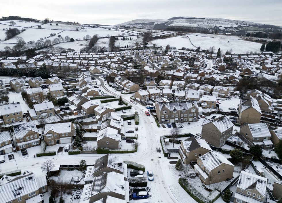
Locations at 100 metres or higher will be mainly affected, with any snow falling below this level likely to be temporary and melt quickly, the Met Office said.
In areas where snow does accumulate, depths of one to five cm are likely, with some locations above 300-400 metres potentially seeing five to 15 cm, it added.
Forecasters have warned of potential travel disruption on higher-level routes, with the possibility of ice forming on infrastructure like power lines.
Met Office meteorologist Aidan McGivern said in an evening weather update that Tuesday will bring an “unsettled picture”.

Mr McGivern said: “It’s during Monday evening that we’re likely to see some freezing rain or snow over upland parts of mid to North Wales, rain at lower levels.
Then, as that system moves into the colder air across Northern England and southern Scotland during the early hours of Tuesday, we’re likely again to see some significant and disruptive snow above 300 metres for northern England, above about 150-200 metres for southern Scotland.
“That, accompanied by increasingly strong winds- we’re talking about 50-60 mph wind gusts- means that it is going to be hazardous for upland parts of northern England and southern Scotland, with the risk of drifting snow, ice accretion, and blizzards at lower levels.”
He said while there could be a little snow at lower levels, it will likely turn back to rain by the start of the day, adding: “For where most people live, it will mostly be wet weather rather than wintry weather."
LATEST DEVELOPMENTS
- Yellow health alerts issued for millions of Britons as temperatures set to plummet across England
- Weather: Britain braces for widespread frost and freezing fog as temperatures plunge towards -7C
- UK weather: Britain braces for snow as temperatures set to plunge below freezing across UK
A yellow warning for ice is also in place across northern England and Scotland until 10am on Monday.
The Met Office warned of icy patches on some roads and pavements as well as injuries from slips or falls.
The UK Health Security Agency (UKHSA) has also issued a yellow cold health alert for the North West, North East and Yorkshire and the Humber.
They will be in place from 9pm on Sunday until 9am on Thursday.
These alerts mean weather conditions could increase the use of healthcare services and pose a greater risk to life for vulnerable people, the agency said.

Ethan Douglas, operational meteorologist at the Met Office, said the cold conditions could lead to an ice risk on the roads, causing "potentially hazardous travelling conditions"
He said: "On Sunday night and Monday morning, there is the potential for some disruptive ice (given the preceding rain and cold night) and snow.
"The snow risk will be constrained to Scottish hills, bringing difficult driving conditions there.
"The ice risk may be present more widely across the north of the UK, causing extended journey times and potentially hazardous travelling conditions."
Our Standards: The GB News Editorial Charter
What's Your Reaction?
 Like
0
 Dislike
0
 Love
0
 Funny
0
 Angry
0
 Sad
0
 Wow
0